

Aerial Photographers
Unmanned Aerial Imaging
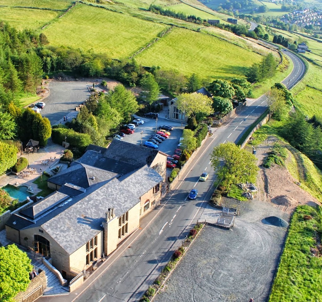
Unmanned Aerial Imaging is a company based in Hyde, England that specializes in aerial photography services. They cater to clients in the building and construction industry, providing them with high-quality images taken by unmanned aerial vehicles. Their team of skilled aerial photographers ensures that clients receive the best possible results for their projects.


Introduction to Unmanned Aerial Imaging
Unmanned Aerial Imaging is a UK-based company that specializes in aerial photography and surveying services. Founded in 2014, the company has grown to become a leading provider of aerial imaging services for a variety of industries, including building and construction. What sets Unmanned Aerial Imaging apart from its competitors is its use of unmanned aerial vehicles (UAVs) to capture high-quality images and data from previously inaccessible angles and locations.Services & Products
Unmanned Aerial Imaging offers a range of services, including aerial photography, surveying, and mapping. Customers can choose from a variety of packages that suit their specific needs and requirements. The company's aerial photographers use state-of-the-art UAVs equipped with high-resolution cameras to capture stunning aerial images and videos. In addition to photography, Unmanned Aerial Imaging also provides surveying and mapping services to help customers analyze and interpret the data collected.Location
Unmanned Aerial Imaging is located at 227 Market St in Hyde, England. Hyde is a thriving town in Greater Manchester, known for its historic architecture and scenic countryside. The area is home to a variety of businesses, including restaurants, cafes, and shops. Customers can easily access Unmanned Aerial Imaging by public transportation, with the nearest bus stops located just a few minutes' walk from the company's office. The three closest public transportation options are the Hyde Bus Station (0.2 miles), the Hyde Central Train Station (0.4 miles), and the Newton for Hyde Train Station (0.7 miles).Benefits
Customers should choose Unmanned Aerial Imaging because of the company's commitment to providing high-quality, reliable aerial imaging services. With its state-of-the-art UAVs and experienced aerial photographers, Unmanned Aerial Imaging can capture stunning aerial images and data that other companies may not be able to. The company also offers competitive pricing and customizable packages to suit customers' specific needs.Good to Know
Customers should be aware that Unmanned Aerial Imaging operates in accordance with all relevant laws and regulations governing the use of UAVs for commercial purposes. The company takes safety and privacy seriously and is committed to ensuring that its operations do not pose any risks to people or property.Reviews
Customers rave about Unmanned Aerial Imaging's high-quality aerial photography and surveying services. Many customers appreciate the company's attention to detail and willingness to go above and beyond to meet their needs. Overall, customers are highly satisfied with the company's services and would recommend it to others in need of aerial imaging solutions.Amenities
-
 drone
drone -
high-resolution camera
-
pilot license
-
editing software
-
gps
-
tripod
-
monopod
-
camera stabilizer
-
gimbals
-
nd filters
-
lenses
-
drone battery
-
drone charger
-
drone case
FAQ
What type of aerial photography services do you offer for building and construction projects?
We offer a variety of aerial photography services for building and construction projects, including site surveys, progress reports, and final project documentation. Our services can be customized to meet the specific needs of our clients, ensuring that we capture all the necessary footage to support their project goals.
Can you provide samples of your previous work in this industry?
Yes, we are happy to provide samples of our previous work in the building and construction industry. We have a portfolio available on our website, which showcases our expertise and the types of projects we have worked on in the past.
What type of equipment do you use for aerial photography?
We use state-of-the-art drones equipped with high-resolution cameras to capture stunning aerial footage. Our drones are equipped with GPS and other advanced features to ensure stable flight and precise navigation. We also use specialized software and editing tools to enhance the quality of our footage and deliver a polished final product.
How long does it typically take to receive the final product after a shoot?
The turnaround time for our aerial photography services varies depending on the scope and complexity of the project. However, we strive to deliver our final product as quickly as possible without compromising on quality. We will provide a clear timeline for delivery before starting the project and keep our clients updated throughout the process.